Communication of true flood risk is critical for communities facing a changing climate. Flooding is the most common and costly type of disaster in the US, and it is becoming more frequent and severe due to climate change. Simultaneously, infrastructure built to protect communities from flooding is aging and deteriorating: the American Society of Civil Engineers 2021 Report Card gave U.S. levee infrastructure, which protects ~17 million people and $2.3 trillion of property, a grade of D. Neither FEMA flood hazard maps nor existing levee infrastructure are equipped for impacts of climate change that will drive more frequent and severe floods in the future. Further, our research indicates that common methods of flood risk communication, such as static 2D inundation maps, are not as effective at communicating true flood risk compared to visualizations that more sincerely represent hazards and impacts. Failure of a levee system, for instance, can cause catastrophic damage to communities that thought they were protected. Adequately modeling and depicting this hazard may present a more realistic scenario that increases the salience of flood risk.
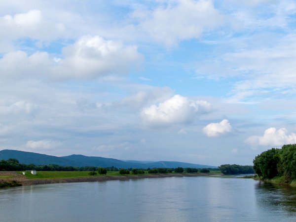
This project will integrate mature research in three distinct areas (visualization, hydrologic modeling, and geotechnical engineering) in a novel and transdisciplinary way by applying state-of-the-art 3D visualizations to rigorous scientific models of flood hazard and levee stability for a leveed community in Luzerne County, Pennsylvania. The methods developed in this project will be easily transferable to other study areas of interest.


