Invaluable landscape heritage sites are under threat from Sea-Level Rise (SLR). These sites include archaeological sites, battlefields, and living landscape features such as the ‘Algernourne Oak’ that has stood since 1540 near the place where the first Africans landed in Virginia in 1619. Although there is widespread agreement that landscape heritage sites deserve preservation and protection, what is recognized as heritage varies as do priorities for preservation. Many sites of significance to indigenous and African American communities do not fit within dominant cultural conceptions of historic preservation that favor 18th and 19th-century buildings These sites have therefore not been represented in conventional SLR visualizations. Equitably addressing the imminent threat posed by SLR to these culturally significant sites and landscapes thus requires new representational approaches that are developed to resonate with racially diverse audiences.
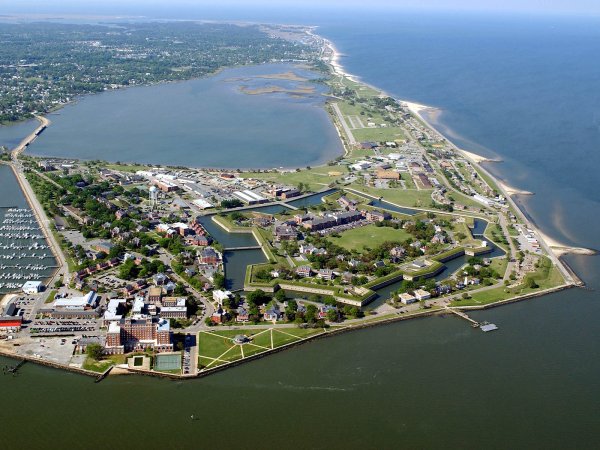
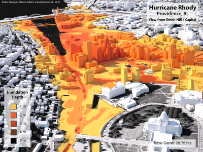
This proposal unites faculty from the Colleges of Arts and Architecture, Faculty in the College of Earth and Mineral Sciences/Earth and Environmental Systems Institute (EESI), and historians and experts from the National Park Service (NPS) to develop and test realistic visualizations of SLR. These visualizations have the capacity to capture the impacts on vegetation and other nuances of landscape change that are not reflected in conventional map-based and diagrammatic 3D visualizations of SLR impacts. Although research has shown that similar visualizations may be effective tools for engaging diverse stakeholders there is a longstanding research gap as to the effects of these visualizations on risk perception, especially among racially and culturally diverse audiences. This work squarely addresses this gap by developing and testing realistic visualizations depicting impacts to landscape heritage sites in and around Hampton VA, USA. Hampton is the nexus of intersecting Indigenous, African American, and colonial histories.
Researchers
Klaus Keller

Alexander Klippel


