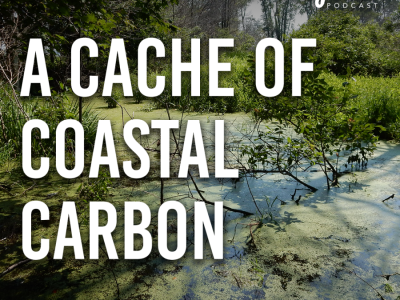
Coastal wetlands are estimated to capture 70% of the carbon permanently stored in the marine environment, 90% of which is held within soil. Yet information on the spatial heterogeneity of soil organic carbon (SOC) and estimated stocks across a wide range of freshwater ecosystems remains limited compared to research on “blue” carbon in the marine environment. This lack of understanding compromises the ability of computational models to accurately predict the impacts of disturbance and climate change on global carbon stocks.
Freshwater wetlands cover approximately 350 000 km2 of the coterminous United States and store as much as 9.63 Pg of carbon. When disturbed or degraded, wetland carbon sinks can re-oxidize back into the atmosphere leading to significant greenhouse gas emissions. In the Great Lakes region, freshwater marsh systems are regionally important carbon stores threatened by extreme weather events and changing hydrologic conditions.
Water levels in the Great Lakes have experienced a record increase since 2014. Lake Erie’s rise of approximately 100 mm/year is 1-2 orders of magnitude greater than the rates of sea-level rise on the oceanic coasts. The rate of lake level rise relative to erosion or accretion rates will determine whether these wetlands keep pace with rising water levels and are able to sequester carbon or drown in place and lose carbon. The short-term goal of our study is to determine the primary factors controlling the chemical nature, spatial distribution and accumulation rates of SOC in a coastal wetland ecosystem within the Lake Erie basin.
We will measure above-ground carbon stock, total organic carbon content, sources of organic carbon (based on carbon stable isotopes), and age and accumulation rate of carbon (radiocarbon, pollen record) in soil and sediments. We will then use quantum mechanical calculations of the interactions of greenhouse gas molecules (CO2and CH4) with soil minerals to provide critical atomic-scale information that is necessary for refining large-scale climate models. In the long-term, our study area will expand to watersheds east of the Great Lakes to the Chesapeake Bay basin.


