It’s not just your gut feeling. The skies over Pittsburgh have been swirling more than usual.
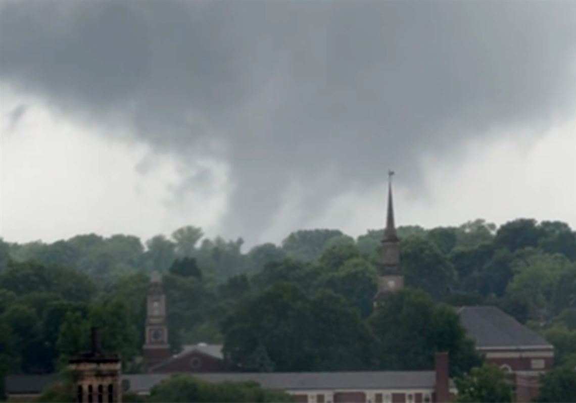
The tornado that ripped through northern Washington County nearly two weeks ago and another that touched down last week near Highland Park are two of the stronger examples of what’s been a record month of tornadoes throughout Western Pennsylvania.
Experts say the uptick isn’t exactly an indication that we’re suddenly a part of Tornado Alley.
But it does speak to an apparent shift in weather patterns that has put Western Pennsylvania at a prolonged risk for severe weather this spring and likely into the early summer. That shift combined with a mild winter has created a warmer overall atmosphere, which creates the instability ripe for severe storms — and, as a result, more tornadoes.
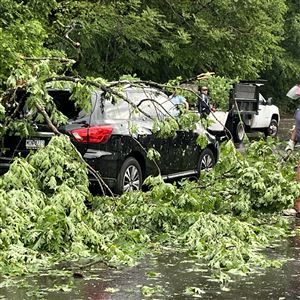
On May 8, 11, and 17, tornado outbreaks blew through Allegheny, Washington and Westmoreland counties, tearing down power lines, pulling trees out of the ground and ripping a roof off a church in Finleyville.
Those storms catapulted May 2024 into a spot among the top five months in Pennsylvania history for tornadic activity, with 10 touching down in just a week and a half, according to the National Weather Service.
Yet, the number of tornadoes that the region has seen this month is not unprecedented nor entirely unexpected, said Matthew Elliott, warning coordination meteorologist at the NWS’s Storm Prediction Center in Norman, Okla.
“Western Pennsylvania is definitely an area that is favorable for tornadoes, and potentially strong tornadoes,” Mr. Elliott said. “It's just not occurring as often. So it's one of those things that every few years … you might have an increased tendency to have a couple of events that have multi-tornado potential. Then you might have other years with no tornadoes.”
Pennsylvania generally sees 16 to 19 tornadoes per year, largely in Western Pa. This year, we’re not alone in seeing a bit of a spike.
Preliminary tornado reports through May 19 show there have 833 tornadoes nationwide through May 19, according to Accuweather. The average for this time of year is 626.
Pennsylvania as a whole generally sees a few handfuls of tornadoes each year, especially in April and May. Through May 19, the state saw 15 in 2019, 13 in 1991, and 11 each in 2011 and 2017.
Feeling vs. data
For the “I never remember having tornadoes like this!” crowd, the truth is likely somewhere between your memory and the facts.
Advancements in technology make it easier to identify tornadoes that tech might otherwise not have recognized decades ago. Technological enhancements have also put severe weather alerts in the palms of our hands with our phones.
“We certainly know we're observing more because we're detecting more on radar and are just more of a connected society,” Mr. Elliott said.
It’s been no secret among weather followers and meteorologists that strong tornadoes can tear through Western Pennsylvania, he added.
The EF-2 tornado that hugged the Allegheny-Washington border in Finleyville on May 11 tore off the roof of Crossroads Ministries Church, where 100 people huddled inside. It also damaged cars and blew the windows out of the building. Sweeping through the town, the tornado hit a local bank and doctor’s office, where the roof was also torn off.
“Most of our tornadoes in the western part of the state are usually EF-0 or EF-1,” said Paul Pastelok, senior meteorologist and lead U.S. long range forecaster at AccuWeather. “But to get any up to EF-2 this early in the season is pretty impressive.”
The NWS Pittsburgh’s coverage area, which also includes eastern Ohio and northern West Virginia, has recorded 19 tornadoes in 2024 — three of which were EF-2 strength. The coverage area has averaged just six tornadoes per year since 1995.
Helping drive the early-season twisters? Warmer winters.
Higher temperatures and lower snowfall totals could be setting Western Pennsylvania up for more severe weather events earlier in the year, experts said. That could include thunderstorms in the winter months and unseasonably warm temperatures following.
Each month this year has had an average high temperature above normal, but none more than February, which had an average high of 50 degrees, 10.4 degrees above normal. May has been about 4 degrees above normal.
Regardless, experts agreed that an uptick in tornadoes cannot be predicted each spring.
Even as average temperatures trend warmer, the Pittsburgh region would have to go through a “crazy climate situation” to become a part of a redefined Tornado Alley, said Paul Markowski, department head and professor of meteorology at Penn State University. Plus, tornadoes are still rare on the whole and people tend to overestimate the everyday risks, he said.
Tornadoes come and go quickly and do not leave a physical geological record the way temperatures do. Scientists can trace temperatures and other events back thousands of years by analyzing tree rings, for example.
Without that long-term physical evidence, tornadoes can be tracked only by personal observation, which is why it took until the 1950s for tornado records to be formally established, Mr. Markowski said.
Not just tornadoes
The severe weather events that have gripped Western Pa. this spring, including devastating flooding, are the result of unseasonably high temperatures, Mr. Pastelok said.
The amount of tornadoes, he said, is a bit of an anomaly, and the number of tornadoes in the past has varied.
“I look back, and every year is a little bit different,” Mr. Pastelok said. “What happened here in May is that we had three or four days where it got up to the 80s. We've had some very significant warmth come into southwest Pennsylvania.”
This past winter had less frequent freezing temperatures and minimal snowfall, which led to higher soil temperatures that further support severe weather conditions, he said.
Other factors such as El Niño, which warms the Pacific Ocean temperatures, also have a significant impact on weather patterns and can bring intense storms that traipse across the country and into Western Pa.
And there’s likely still more to come, as the severe weather tends to peak in June around here.
This summer’s storms are expected to be “rough,” but Pennsylvania will be on the northern edge of the severe potential, Mr. Pastelok said.
Early summer is prime season for producing derechos, like what Houston endured last week when four people were killed and hundreds of thousands lost power, he said. Think of it as a fast-moving Category 1 or 2 hurricane, only it lasts for just a short period of time and does not have the forecast lead time that a hurricane does, which would allow people to better prepare to seek shelter or evacuate.
“These are long-tracking storms that can produce a significant amount of damage because of their strong wind gusts,” Mr. Pastelok said. “(Up to) 270 miles of damage usually occurs with the derechos.”
2024 already one for the record books
Meteorological spring — March 1 through May 20 — has been the second-warmest in the region since record-keeping began in 1871, said Mike Kennedy, meteorologist at NWS Pittsburgh. Average highs have been about 6 degrees above normal.
And the summer months are expected to lean slightly above normal across the country, he added.
However, rainfall totals have been the biggest outlier this spring.
The region has gotten more than 15.5 inches of rain, the wettest spring in history, and forecasters are calling for slightly above normal rainfall totals this summer, too, Mr. Kennedy said.
For the year, NWS Pittsburgh had recorded 22.67 inches of rain through May 20, more than 8 inches above than the Jan. 1 to May 20 average.
If the region got no rainfall for the next two months, it would reach normal annual levels.
“It's been a wet pattern,” Mr. Kennedy said. “The flow and upper levels have been able to do some heavier rain. We have a lot of moisture in the air coming up from the [Gulf of Mexico].”
Forecasting challenges
Since 2010, the country has seen a wide range in tornadic activity. There were 1,691 tornadoes in 2011, according to the National Oceanic and Atmospheric Association, the federal forecasting agency that also monitors oceanic and atmospheric conditions, sea levels and fishing and marine life.
Just three years later, there were 886 nationwide — the lowest number of the past 14 years.
“We've had big events before, and we'll have them in the future,” said Mr. Markowski, the Penn State professor. He pointed to the May 31, 1985, outbreak that saw 43 tornadoes tear through Ohio, northwestern Pennsylvania, western New York and southern Ontario, Canada, killing 89 and injuring more than a thousand. It was the deadliest tornado outbreak of the 1980s.
While such varying data makes long-term forecasting difficult, even in an otherwise slow year for tornadoes, the potential for destructive, if not deadly, storms always exists.
Mr. Markowski said it’s not yet well-known what effect climate change might be having on tornadoes.
“That’s where we probably have the weakest understanding,” he said.
Most important, he said, is for weather-watchers to remember that “the laws of physics are agnostic about county and state borders.”
“The climatology varies, but there are certain days in Pennsylvania when the conditions are more similar to Oklahoma, and there's no special reason why,” he said.
First Published: May 24, 2024, 9:30 a.m.
Updated: May 25, 2024, 6:29 p.m.


